Publications
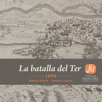
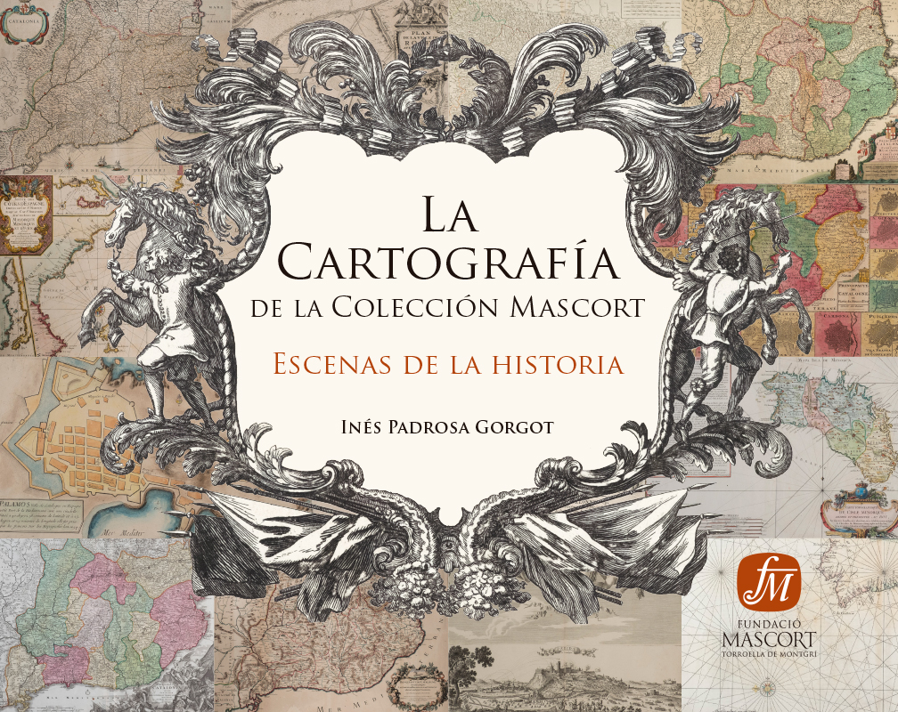
La Cartografía de la Colección Mascort
Escenas de la Historia
Inés Padrosa Gorgot
The catalogue lists more than 160 free-standing maps spanning the period from the 16th to the 19th century –more than 50 of them are maps of Catalonia– made in the leading schools of cartography in Europe, outstanding among them the French school. The maps are complemented with a series of Monographs related with the world of cartography.
We have placed special emphasis on establishing the link between the free-standing maps and the work of which they had been part. The degree of involvement of the different people who took part in the work has been detailed: cartographers, geographers, draftsmen, engravers, editors and printers, among others. We have tried to include a portrait of the author, to establish cartographic influences and, if necessary, to place the moment they belong to in a historical context. Moreover, wherever possible, we have included the cover of the book and tried to explain the iconographic significance of the elements that appear on the chalcographic engravings of the frontispiece.
We have also tried to explain the significance of the cartouches and the iconographic elements that are part of them, whether architectural, mythological, historical, heraldic or simply artistic. With that vision, which is complementary to cartography proper, the reader will perceive a wealth of multidisciplinary contents that will provide him with a way of looking other than the merely historical-geographical.
This investigation has entailed searching a score of libraries in Spain, all over Europe and even in the United States to be able to include material preserved in the institutions consulted.
Previous
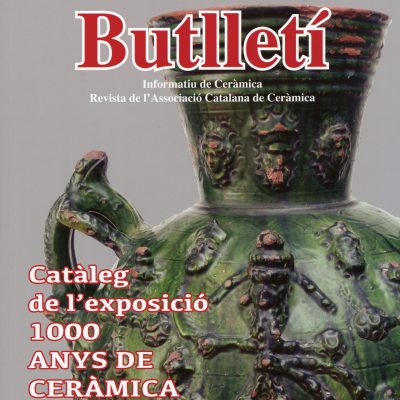
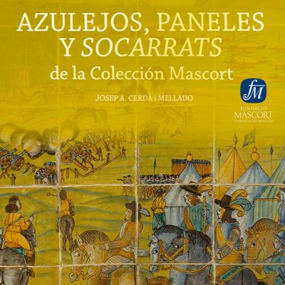
1000 anys de ceràmica catalana. Celebrant els 40 anys de l’Associació Catalana de Ceràmica
Butlletí Informatiu de Ceràmica
See
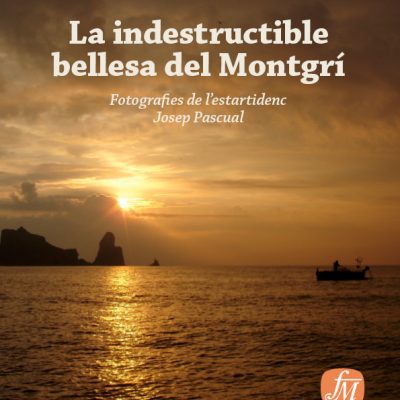
Una mirada emocionada
See
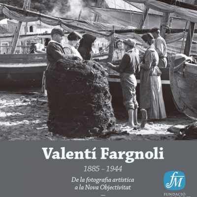
De la exquisitez a lo cotidiano
Diálogos entre obras de la Colección Mascort y estudios técnicos de la…
See
L’ermita de Santa Caterina del Montgrí
See